

Date:June 11, 2015
USA Michigan
Geodynamics Worldwide carried out a passive seismic spectroscopy survey in Michigan, USA, for identification of hydrocarbon prospects. The survey consists of 270 data points, split into 3 separate areas of interest: 40 km2 (15 mi2), 45 km2 (17 mi2), 175 km2(68 mi2). On the basis of the client’s objectives in each area, different spacing was applied: from dense at 400-600m (0.25-0.37 mi) to large at 1000-2000m (0.62-1.24 mi).
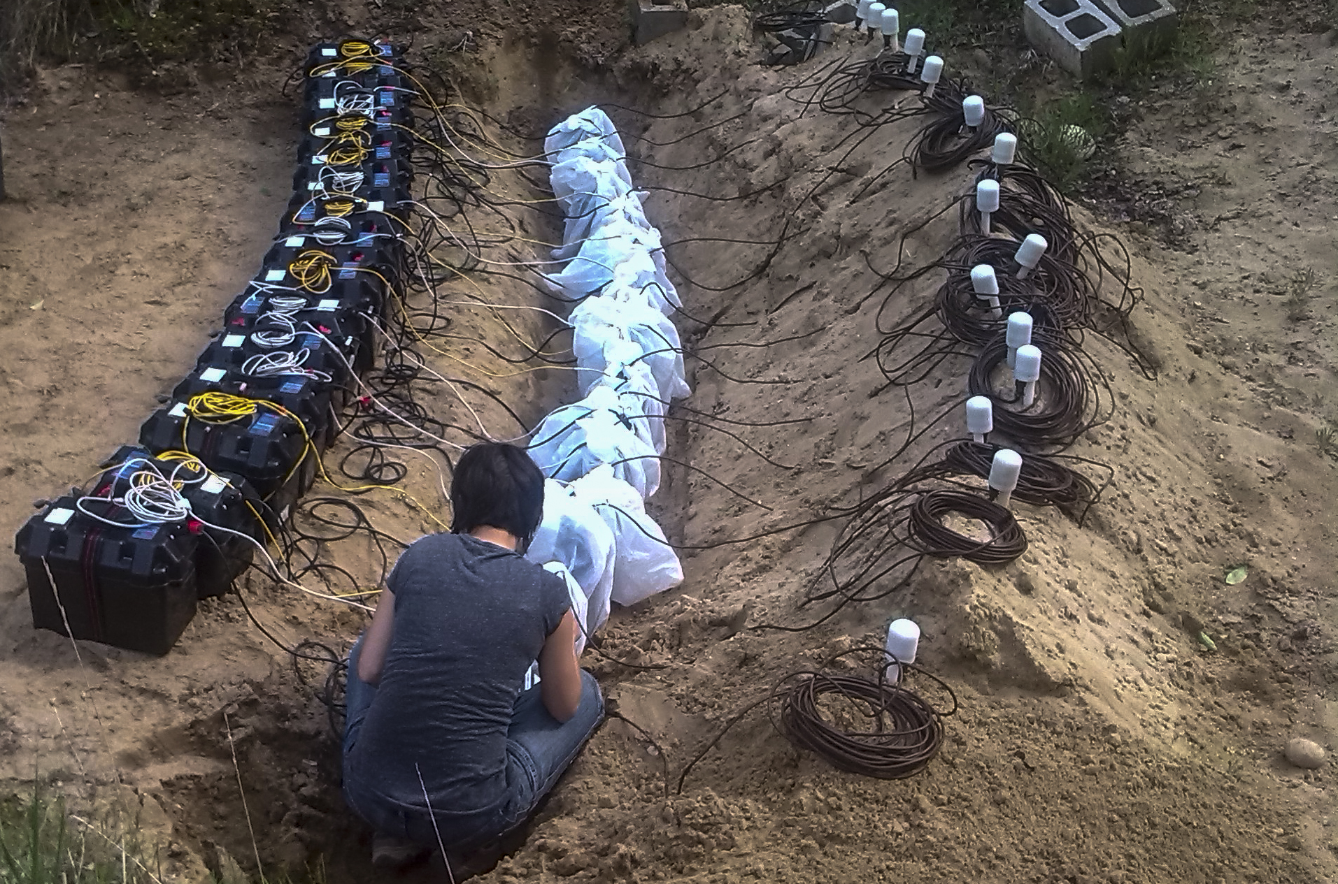
For permitting reasons most of the acquisition took place along roads and signals were recorded overnight with minimum duration of 12 hours. A careful field scouting, and therefore a grid re-adjustment, was carried out prior to acquisition to identify noise sources that might have disturbed the authenticity of the target signal. Field data was then reviewed on daily basis to verify any source of unwanted noise. To minimzie the impact of weather consitions on data, the operations were interrupted during rain time or storms. Overall, the survey lasted 75 days (against 45 days scheduled) in the summer of 2015. The acquisition of 270 data points was carried out with a set of 15 sensors, a team of 2-3 Geodynamics operators, 2-3 local helpers and 2 vehicles.
Geodynamics delivered to the client a report with passive seismic spectroscopy results without a chapter of integration with other available G&G data. The final report with results was urgently provided to the client: 15 days after completion of data acquisition.

Setup of a measuring points in Michigan.
Calibration execution in Michigan
© Contents - Geodynamics worldwide